Groomer Tracker
See live updates of the trails that have been groomed.
Simply download the Groomer Tracker app from Google Play or the App store on Apple devices. For just $10 per year, you will have access to see where the groomers are grooming. The good news is that $5 from your $10 purchase will come back to DATA.
Simply download the Groomer Tracker app from Google Play or the App store on Apple devices. For just $10 per year, you will have access to see where the groomers are grooming. The good news is that $5 from your $10 purchase will come back to DATA.
PURPLE = TRAILS
GREEN = Within the last 12 hours
YELLOW = 12-24 hours ago
RED = More than 24 hours ago
Grooming Schedule:
Our trails are open. Ride with caution. There are bare areas and the warm weather is creating icy conditions.
| Day |
Northwest Trails |
|---|---|
| Ida Valley |
|
Woodland |
|
N Little Alps |
|
W Little Alps |
|
S Little Alps |
|
E Little Alps |
|
Hunt Lake |
|
Ottertail |
|
Chippewa |
|
| Moon Ridge |
| Day |
Northeast Trails |
|---|---|
| Viking |
|
Arrowwood |
|
North Hookup |
|
S Inspiration |
|
Big Ole |
|
| Long Prairie |
|
Spruce Hill |
|
Bare Knob |
|
N Inspiration |
|
| Carlos State park |
|
| Carlos Connection |
| Day |
South Trails |
|---|---|
| South Hookup |
|
Villard Hookup |
|
| Prairie | |
Sikaso |
|
Head of Lakes |
|
2 Pole |
|
Ready Riders |
|
27 West-south |
|
27 West-north |
|
| Runestone |
|
| KOA-K |
| Day |
Central Lakes |
|---|---|
| E Central Lakes |
|
| W Central Lakes |
|
Esplanade |
|
Eagles Leg |
|
YMCA Leg |
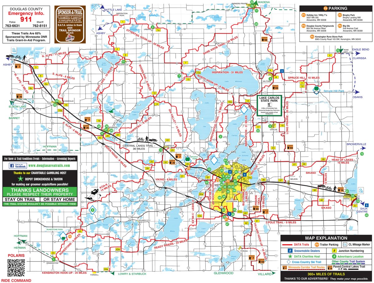
Physical Maps and Downloads
To request a free map and area information please contact:
Explore Alexandria Tourism
Alexandria Chamber of Commerce
Email info@alexandriamn.org for a 2025 Trail Map.